Image credits: kisspng.com
Flood is a natural calamity that causes loss and damages and brings changes to the economy.
In the light of recent events, one such unfortunate natural disaster took place in Kerala, India. Due to high rainfall, severe flooding affected almost one-sixth of the total population of Kerala within a fortnight during the end of July 2018. As per real estate marketing analysis, thirty-five out of forty- two dams within the state were opened for the first time in history. The Idukki Dam had their five overflow gates opened at the same time after a gap of twenty-six years. Severe landslides have also been caused due to which the hilly areas have been isolated.
Natural hazards are unpredictable and to a certain level inevitable, but one can always take precautions to save as much as they can. To decrease the damages that can occur, planning and organising of rapid forces have been developed by nations in the form of natural disaster management. For areas that are situated near to seas or coastlines, people opt for flood certification on a property.
1. What is a Flood Certification?
A flood certification or a flood elevation certificate is a document that states the flood zone status of a property. FEMA (Federal Emergency Management Agency) flood maps are designed using addresses or coordinates of the property for the flood certification provider to certify whether the property is situated in a flood zone or not. The certificate documents the building’s elevation. An elevation certificate is required to obtain an accurate flood insurance policy by calculating the after repair value. The insurance agent needs the certificate to compare the building’s elevation to the Base Flood Elevation (BFE) which determines the height of water level during base flood.
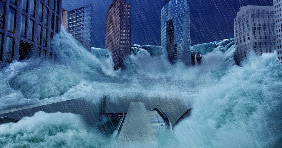
Image credits: digitalis-dsp.uc.pt
2. The Certification Procedure
After gathering all the necessary information about a location of the property by FEMA, a Flood Zone Determination Request is made to identify which zone the property belongs.
3. Life of Loan (LOL) Flood Zone
LOLs are constructed to ensure the compliance throughout the presence of a loan that is taken. In the affected area, to make sure that the flood insurance requirements have not changed when old or new Flood Insurance Rate Map is processed, previously submitted addresses are rechecked. A query is conducted on the entire LOL to determine which previously presented addresses located require a LOL update. The addresses are put together and mapped again to update the new map parcel number and date. To ensure that the every information community name, flood zone and participation status information is accurate and matches with the submitted information, a comparison is made.
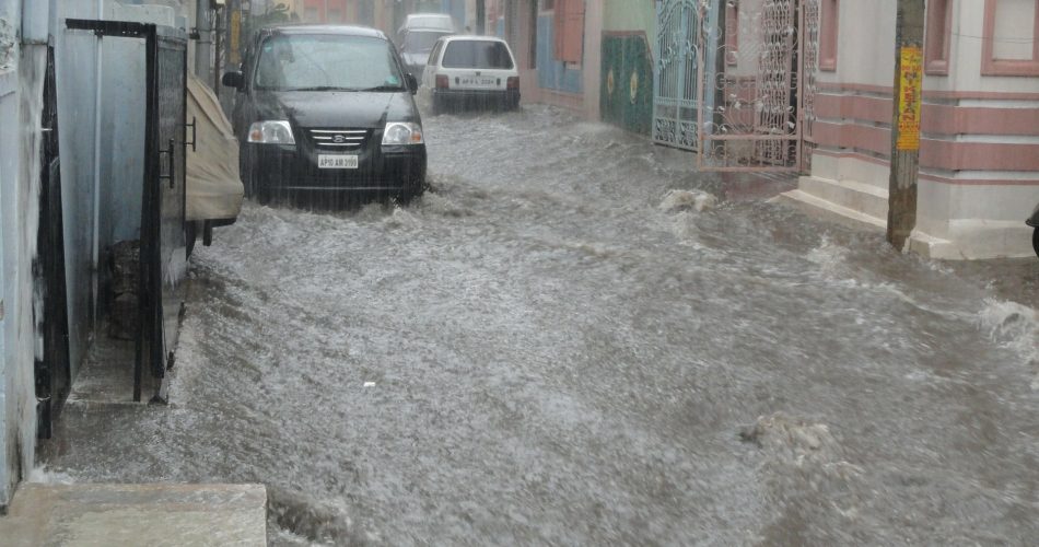
Image credits: pinterest.com
4. Disputed Flood Zone Determination Request
This option is available to the property owner to appeal a lender’s flood zone determination. On the basis of the information provided on the FEMA website, verification is done. The process is completed within 4 working days.
5. Exhibits
As per the client request, the research team prepares the exhibits showing the property location with the formatted FEMA firm panel using the robust application supporting aerial map and GIS map.
6. Borrower Contact Information Research
The process includes researching the borrowers contact information through certain websites and highlighting appropriate information on the application.
Some other steps include PRP (Preferred Risk Policy) Determination, Grandfathered Flood Zone Determinations, Portfolio Determination, LOMA Case Processing, Basic Flood Zone Determination, Special Properties Determination, Portfolio Services, and Life of Loan Determination this also effects the commercial leases.
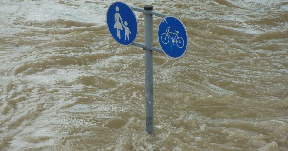
Image credits: gf4prepared.com
7. The Elevation Certificate
Without an elevation certificate your property is entitled to a higher rate of premium. This certificate also gives you all relevant information that you need to know as the property owner. The certificate allows you and your insurance partner to know the estimate damage that might be expected during the unfortunate natural calamity flood. The certificate can be obtained from:
- The local floodplain manager: Every National Flood Insurance Program (NFIP)–participating community has a floodplain manager, who might have a different title or may serve in multiple capacities.
- Sellers: When buying a property, the sellers give their EC.
- Developer of the building: In a high-risk area, the developer or builder is usually required to get an EC during construction.
- Land surveyor, professional engineer, or certified architect can be hired who is authorized by law to certify elevation information.


